-40%
USGS LEADVILLE AREA, WEST SLOPE of MOSQUITO RANGE Mines HARD COVER, All 20 MAPS
$ 47.52
- Description
- Size Guide
Description
HARD COVER!!RARE (AND I AVOID THAT WORD UNLESS TRUE)!!
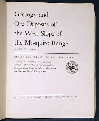
This is USGS Professional Paper 235,
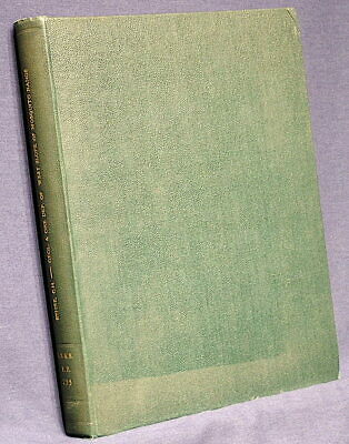
Geology and Ore Deposits of the West Slope of the Mosquito Range, Colorado
.Published in 1953, this is a genuinely rare work on the Leadville area of Colorado. There was a previous report (
Professional Paper 148, 1927) that gave attention to the immediate area of Leadville. This report covers the remaining area of this richly mineralized district. This report consists of the 176-page
hard cover book
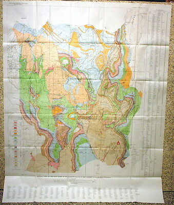
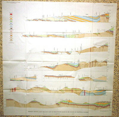
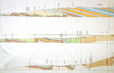
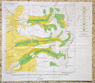
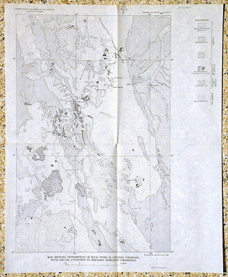
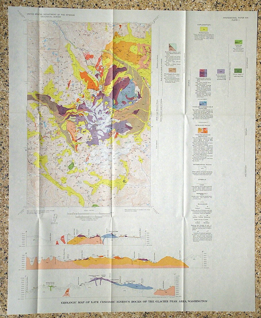
and all 20 of the maps in a pocket in the back. Some of the maps are full color geologic maps. Most of the others are of specific mine workings. This is a nicely rebound hard cover that was clearly bound before the original paperback had deteriorated, as the text is in excellent condition.
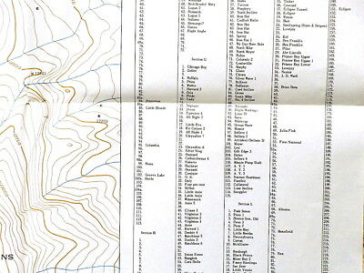
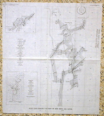
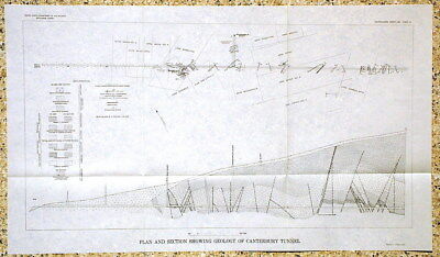
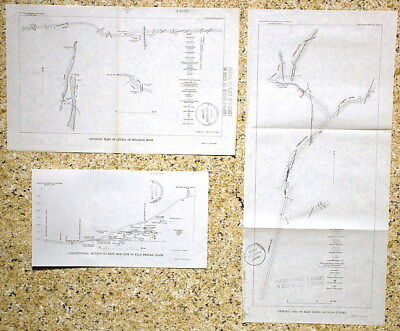
There is a complete accounting of the geology, including discussions of each of the various minerals occurring in the area, dozens of mines and prospects, the formational geology and structure, and the mining claims, and there are many photos and diagrams. You couldn't ask for a more complete report. The large geologic map is over four feet tall, nearly as wide, and amazingly detailed. There is a large claims map as well. Maps of specific mines include:
Ibex mine (3 maps)
Canterbury Tunnel
Continental Chief mine
Hellena mine
Altoona tunnel
Clear Grit mine and adjacent mines
Ella Beeler Claim
Venir mine (2)
Garibaldi tunnel
Resurrection mine
More locations are discussed in the book. Lots of mines, cool minerals! This report is loaded. This would be a good companion during your mountain ramblings and a great tool for targeting collecting locations. Here is a great opportunity to own an important old report on this famous area!
Please read the condition notes.
Hard cover with minor issues.
Expert packing assured. Shipping weight is four pounds. The recent increase in postage rates was pretty big. As a result, Media Mail is now my default shipping method to keep shipping affordable.
Visit my store,
Rockwiler Books and Minerals.
I will continue to add items to my store, so check back frequently.
®
ROCKWILER

