-40%
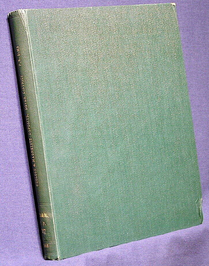
USGS DOVER IRON MINING DISTRICT, NEW JERSEY - HUGE REPORT, 14 MAPS! HARD COVER!
$ 31.67
- Description
- Size Guide
Description
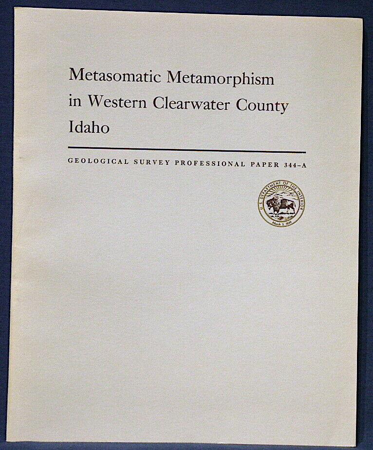
RARE IN HARD COVER!! A SELDOM SEEN ITEM!!This is USGS Professional Paper 287,
Geology and Magnetite Deposits of Dover District, Morris County, New Jersey.
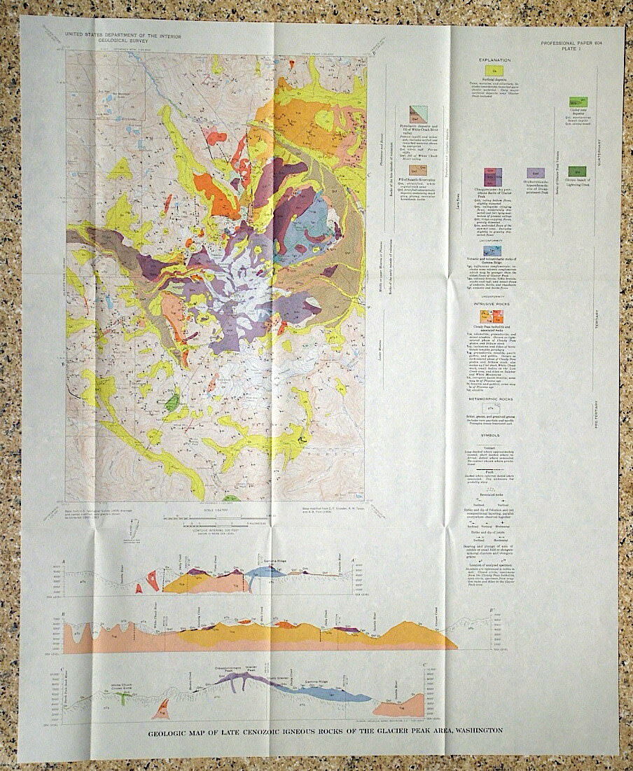
Published in 1958, there can't be many of these around. It consists of a 162-page book and all fourteen of the original maps and cross section. Two of the maps are full color maps, and one is a three-color block diagram of one of the mines. Many of the maps are of specific mine workings.
These were originally issued in paper covers, but this was nicely rebound to hard covers and apparently didn't see much use after that.
This is a historic mining district that produced upwards of 70% of the iron ore produced in New Jersey. About 85 pages of this book are devoted to describing the many mines, prospects and occurrences in the area. Some of the mines that receive more extensive treatment in the book include:
Mount Hope mine
Richard mine
Huff mine
Scrub Oaks mine
Beach Glen ore belt and mines
Hibernia Pond-Hibernia ore belt and mines
But there are scores of other mines and prospects that are given varying degrees of detail, including maps and diagrams within the text. In addition to an aerial photo of part of the area, there are also photos of rock samples and microscope sections of rock samples. This is a very complete treatment of the area. The large full-color geologic map of the area has locations for ninety-one prospects and mines - the vast majority (all?) of which are described to some extent in the text. In addition to the mine descriptions and geology, this book provides regional geology and production figures for the district and some of the individual mines as well.
All in all, a great historical report on a significant old mining district. Sure to be of interest to local residents, historians, geologists, mineral collectors and the like.
Rare in hard covers - Don't miss it. This is only the third one of these I have ever had in any form.
Expert packing assured. The recent increase in postage rates was pretty big. As a result, Media Mail is now my default shipping method to keep shipping afford
able.
Visit my store,
Rockwiler Books and Minerals.
I will continue to add items to my store, so check back frequently.
®
ROCKWILER
